Severe Weather Warnings Issued Across Mexico
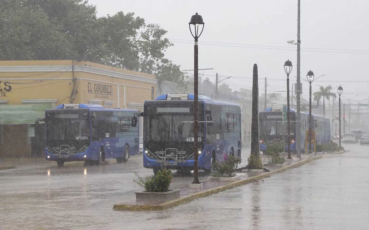
A combination of the Mexican monsoon and tropical waves 27 and 28 is battering Mexico with intense downpours, while a severe heat wave pushes temperatures up to 45 degrees Celsius across seven states. According to reports from the National Meteorological Service, the severe conditions bring grave risks of flooding and structural damage.
The national weather agency explained that atmospheric instability interacting with a cyclonic circulation generates hazardous weather across multiple regions. Citing reports, authorities warn that thunderstorms will produce dangerous lightning and potential hail storms.
State officials confirmed that rainfall accumulations of 75 to 150 millimeters are expected in parts of Michoacan. Meanwhile, regions including Chihuahua, Sinaloa, Durango, Jalisco, Guerrero, Oaxaca, Puebla, and Veracruz face very heavy downpours.
"Citizens must exercise extreme caution as these weather anomalies develop," meteorologists stated, highlighting that wind gusts could knock down trees and advertising billboards.
Scorching Temperatures Strike Northern Regions
In sharp contrast to the torrential downpours, an anti-cyclone in the middle levels of the atmosphere is maintaining dangerous heat across northern Mexico. According to reports, maximum temperatures will soar between 40 and 45 degrees Celsius in parts of Baja California, Sonora, Sinaloa, Chihuahua, Nuevo Leon, and Tamaulipas.
The prolonged heat wave continues to bake Baja California Sur, Chihuahua, Coahuila, and Nuevo Leon. Health officials advise residents to stay hydrated and avoid prolonged sun exposure during peak afternoon hours.
Meanwhile, lower pressure channels interacting with tropical disturbances are fueling widespread precipitation across central and southern states. Citing reports, mountainous areas are also experiencing morning fog banks that severely reduce highway visibility.
Experts note that coastal regions are simultaneously battling rough seas and high swells. Wave heights are expected to reach up to three meters in the Gulf of Tehuantepec, creating hazardous conditions for maritime activities.
Regional Forecasts Show Widespread Atmospheric Instability
The Valley of Mexico experiences a cool morning with high altitude fog before afternoon temperatures climb to 28 degrees Celsius. According to reports, localized thunderstorms will bring heavy rainfall and potential hail to parts of the State of Mexico and the capital.
In the northeast and central plateaus, states like Puebla, Tlaxcala, and Morelos brace for heavy downpours and gusty winds. Weather stations recorded wind speeds reaching up to 60 kilometers per hour across several affected territories.
Emergency services remain on high alert for potential river overflows and mudslides in mountainous terrain. Citing reports, local authorities continue monitoring the continuous progression of tropical wave number 28.
Meteorological agencies emphasize that comprehensive tracking is vital to mitigate infrastructure damage. Officials urge local populations to heed safety warnings as volatile weather patterns persist throughout the country.
